Task 1: Trajectories data collection
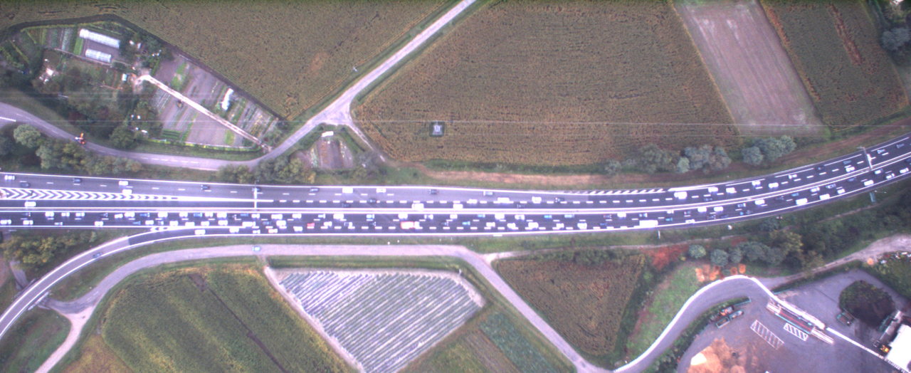
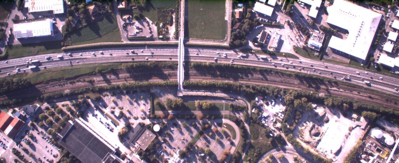
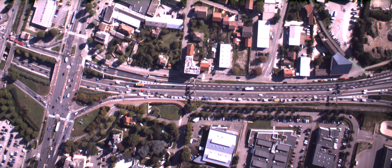
The objective of this task is to propose a unique set of trajectories collected through a helicopter placed 500 m above the highway. Three locations were chosen, all placed on the RN87, the south part of the ring highway of Grenoble:
- A merge;
- A standard section located in-between one entrance and one exit of low flow;
- A weaving section (2 entrances, 3 exits).
The length of the central part of each of those 3 zones is of 500 m, and the complete camera coverage is of 1300 m.
Task 1
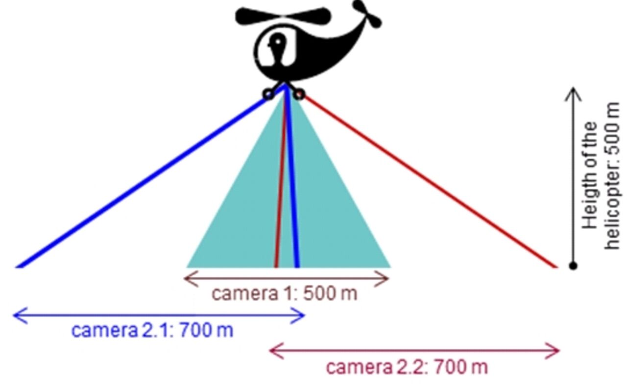
Each zone was filmed by three cameras (see the figure) mounted on a helicopter : www.leuropevueduciel.com whose driver was asked to keep as much as possible a constant position for one hour:
- At the center, a high definition camera is placed vertically and provides 2448x1000 pixels images with a frame rate higher than 20 images per seconds;
- Two other identical cameras (camera 2.1 and 2.2) are placed laterally to observe the upstream and downstream direction of the flow. They offer a broader vision of the traffic scene and will permit us to calculate, per lane, entering and exiting flows.
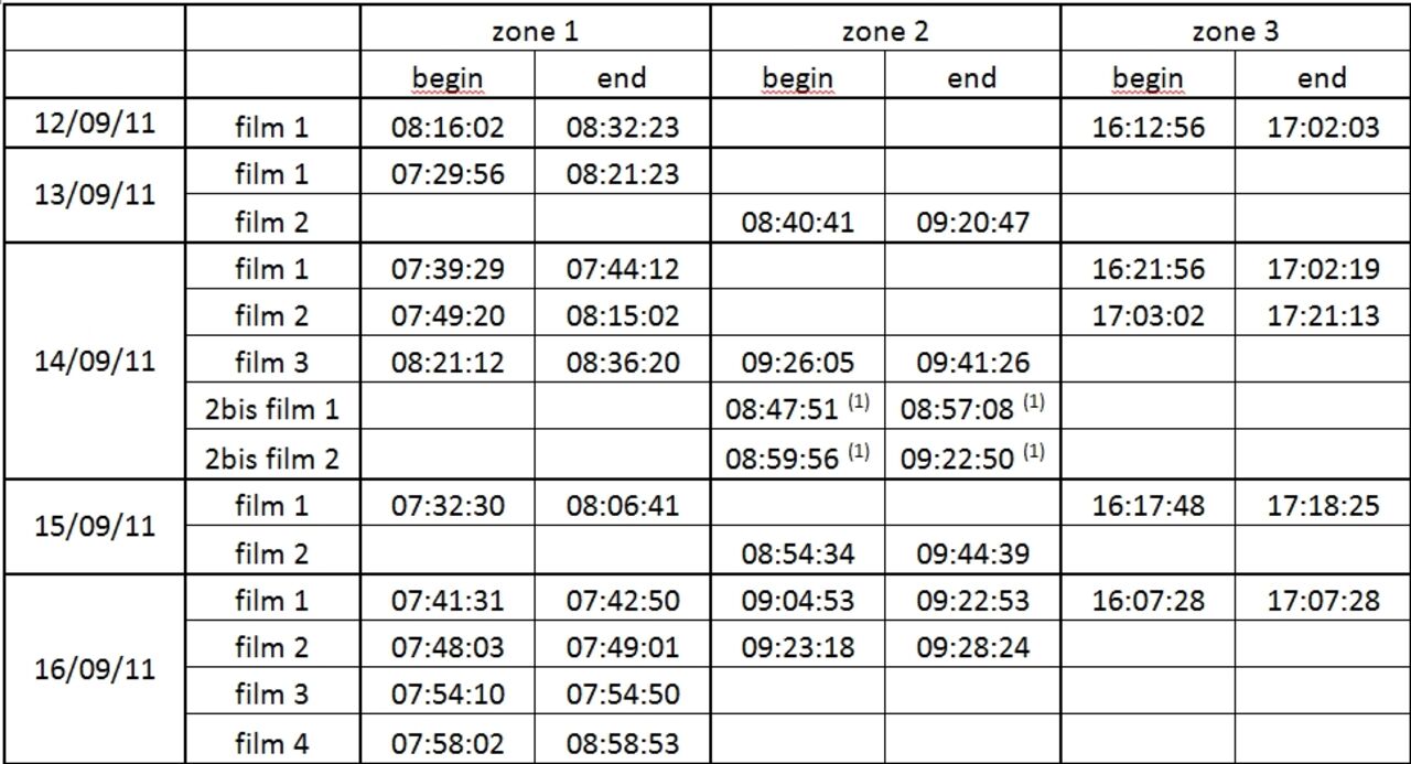
The films were realized from Monday September 12 to Friday September 16, 2011. The table below gives the exact description of the collection periods and the durations of the films taken from the camera 1.
After having collected the images from the camera 1, the digitalization process, resulting into the vehicle trajectories, can take place. We use the digitalization algorithms developed initially by TU Delft. The process can be divided into successive steps: We are now in this process, which might conduct us to offer you a first data set before the end of the first trimester of 2012.

